
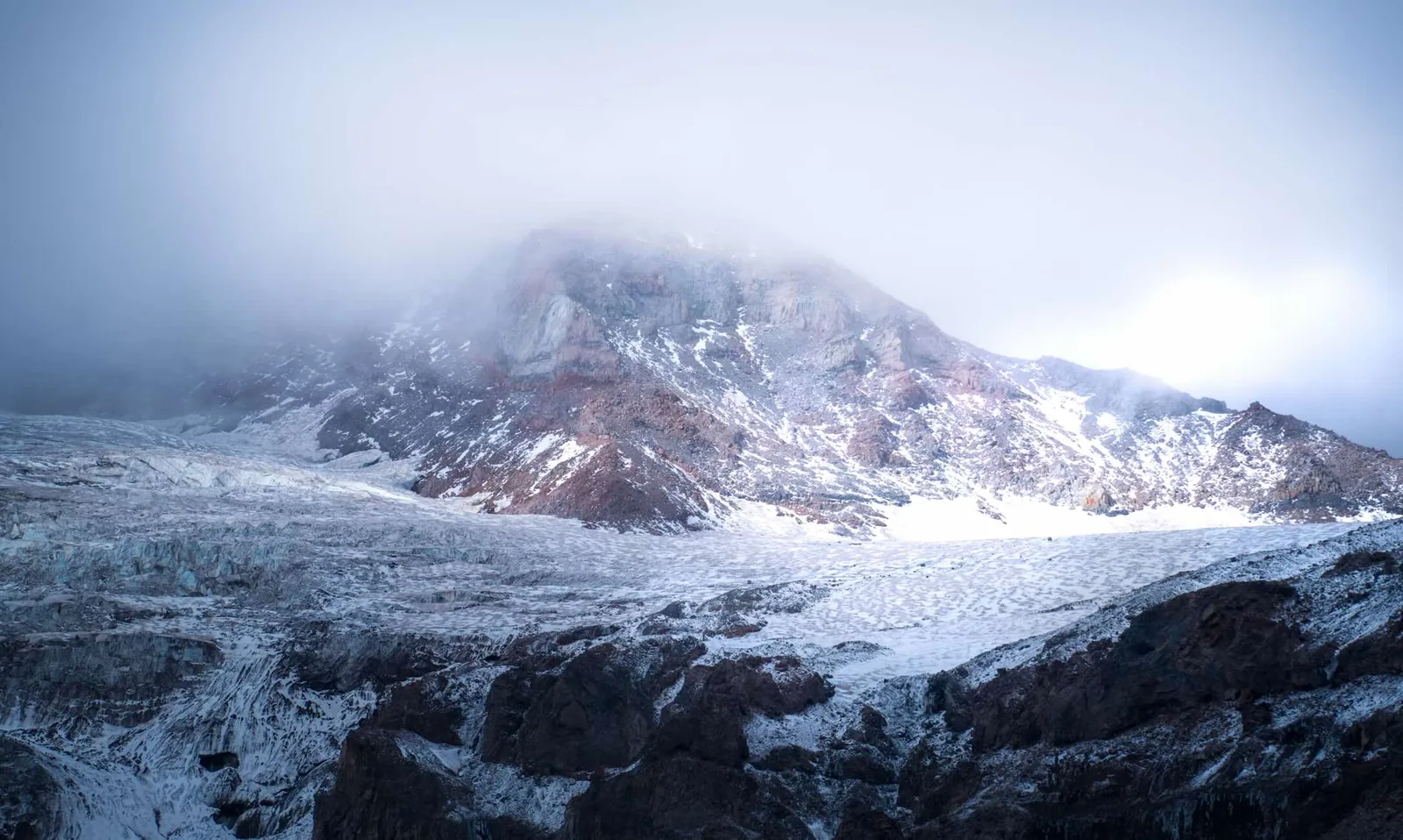
On September 6, 2026, Harlan Ulmer photographed a glacier in the Colorado Rockies. The Associated Press later paired his image with a shot of the same glacier that Ulmer had taken two years earlier, on September 1, 2024. The comparison was telling: The summer of 2026 was especially hard on Colorado’s glaciers. In a single year, one glacier thinned by more than 12 feet (3.7 meters) and another by nearly 10 feet (3 meters)—roughly twice the average annual rate over the past five years. “We’re watching part of Colorado’s identity disappear,” warns glaciologist Dan McGrath. The losses extend well beyond the Rockies: According to a study published this fall, 398 glaciers across the contiguous United States have disappeared entirely from scientific inventories since the mid-20th century.
What the numbers hide
Published on October 12, 2026, in the Proceedings of the National Academy of Sciences (PNAS), the study compares maps made between 1950 and 1980 with observations from the 2010s. Covering six states—Washington, Oregon, California, Montana, Wyoming, and Colorado—it presents an alarming picture: Glaciers lost 35% of their area, shrinking from 562 to 367 square kilometers. Their total volume fell by a third, a loss of 6.51 cubic kilometers of ice. Lead author Andrew Fountain said he was stunned by the scale of the glacier retreat and by how many glaciers had disappeared altogether.
But the glacier counts can be misleading. The first inventory listed 1,453 glaciers and the second 1,331—a difference of just 122. How, then, could 398 glaciers have disappeared? Several glaciers split apart as the tongues of ice that once connected them separated. The fragments now count as distinct glaciers, making the total look relatively stable and masking the true extent of the decline. The study also has a major limitation: Its data end around 2015, leaving out recent heat waves. And research published this past July shows that a snow drought—a severe shortage of snow—as bad as the one in spring 2026 is now 4.4 times as likely as it used to be. While a lack of snow is not a direct measure of ice melt, it leaves glaciers without their natural protection from heat, accelerating their disappearance.
The newsletter that lifts you higher
Every Wednesday: the editorial team’s column, the best articles, and plenty of surprises to help you climb higher — in mind and in spirit.
The losses vary sharply from place to place, though. Fountain’s research found that California’s Sierra Nevada lost 77% of its glacier volume, compared with just 13% in the southern Cascades in Washington State. The direction a glacier faces, shade from a cliff, or snow deposited by avalanches can sometimes buy it time. In the crater left by the May 18, 1980, eruption of Mount St. Helens, a new glacier even formed in the shade. Its surface area grew by 64% between 2003 and 2015. But such exceptions remain rare: The 51 expanding glaciers identified in the study gained just 1.25 square kilometers combined, compared with roughly 195 square kilometers lost across the region.
The downstream effects
In these mountains, winter snow feeds streams and rivers in the spring. Glacier melt takes over in summer, once the seasonal snowpack has melted. That water becomes especially critical late in the dry season, when streams are at their lowest and temperatures are high. In the short term, faster melting can temporarily boost river flows. But flows can then drop sharply as the ice reserves run out. Some valleys depend heavily on that summer water: In Washington’s Skagit River, glacier melt still accounts for 6% to 12% of summer flow.
This cold water also provides essential habitat. In Montana’s Glacier National Park, two species of stonefly—Lednia tumana and Zapada glacier—live only in streams fed by glaciers, snowfields that linger through the summer, and certain clear-water springs. In 2019, the United States officially listed both as threatened species. “They simply have nowhere to go,” ecologist Clint Muhlfeld warned back in 2016. The U.S. Geological Survey researcher was watching the insects move ever higher toward the last remaining cold-water streams. Still, glacier retreat does not mean immediate extinction for all the wildlife that depends on the ice. In a study published in 2020, Muhlfeld and his team identified communities of cold-water invertebrates in watersheds where glaciers had disappeared about 170 years earlier. Groundwater seepage and persistent snowfields were keeping those communities alive. Despite that local resilience, climate projections remain grim: They point to a 70% to 80% reduction in suitable habitat by the end of the century.
As glaciers retreat, they expose huge amounts of rock and sediment that rain washes into the valleys, raising streambeds and increasing the risk of flooding
In Washington, the Skagit River also supplies three hydroelectric dams operated by a public utility. Together, they provide about 20% of Seattle’s electricity. To anticipate how glacier retreat will affect summer flows, the utility partnered with the University of Northern British Columbia in 2025 to compile a new inventory of the watershed’s glaciers.
The same river is also at the center of major talks between the city of Seattle and several tribal nations. Signed in May 2026 as part of the dams’ relicensing process, a landmark agreement calls for improving fish passage, restoring salmon habitat, and protecting ancestral fishing rights. “This is the river where my father fished when he was young, and where I learned to fish, too,” said Nino Maltos II, chairman of the Sauk-Suiattle Tribe. The product of lengthy negotiations, the agreement illustrates the delicate balance between generating electricity, protecting biodiversity, and respecting tribal rights.
Farther south, around Mount Rainier, the concern has shifted: It is no longer just about sharing water, but about keeping rivers from destroying infrastructure. As glaciers retreat, they expose huge amounts of rock and sediment that rain washes into the valleys, raising streambeds and increasing the risk of flooding. In 2010, a powerful storm washed out a section of Nisqually Road.
Mountaineers are having to adapt, too. In the North Cascades, park rangers reported on September 17, 2026, that bare ice and deep crevasses—cracks in the glacier—had appeared on the Sulphide Glacier route on Mount Shuksan. The route remains passable in favorable late-season conditions, but travel in the high mountains now depends entirely on the stability of the ice.
By the end of next summer, Harlan Ulmer may have another photograph to add to his series. But in the valleys of the Cascades, glacier loss is already about more than photographs: It is forcing hard choices about which roads to protect, which ecosystems to preserve, and how to share the water.